
SPECTRA Blog / LiDAR Mapping
How LiDAR Creates A Digital Model Of Your Home
LiDAR technology, once reserved for aerospace and autonomous vehicles, is now inside your iPhone — and it can create a precise 3D model of your entire home in minutes.
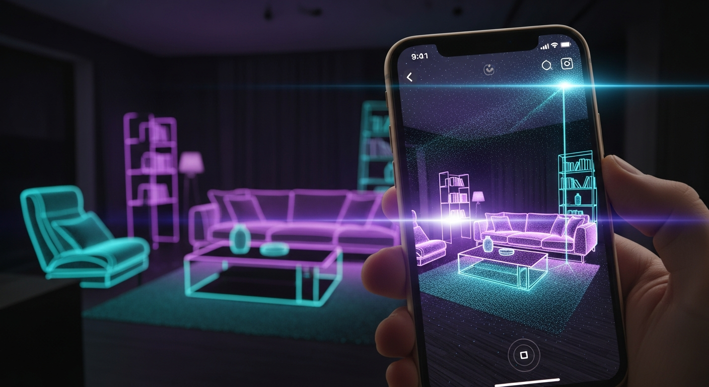
What Is LiDAR?
LiDAR stands for Light Detection and Ranging. The technology works by emitting short pulses of laser light, measuring how long each pulse takes to return after bouncing off a surface, and converting those time measurements into precise distance values.
By sweeping millions of these laser pulses across a scene, a LiDAR sensor builds up an extraordinarily detailed 3D point cloud — a digital constellation of millions of individual measurements that together define the geometry of a space.
LiDAR Is Already In Your Pocket
Since 2020, Apple has included a LiDAR scanner in the Pro line of iPhones and iPad Pros. The sensor is the same core technology used in autonomous vehicles and professional survey equipment, miniaturised for a mobile device.
This means anyone with a compatible iPhone already has a professional-grade 3D scanning tool. SPECTRA uses this built-in capability to create accurate home models without any specialist hardware.
How SPECTRA Uses LiDAR To Map Your Home
The Scanning Process
Walk through each room of your home with SPECTRA running. The app uses the iPhone LiDAR sensor to build a real-time point cloud of each space, capturing:
- Room dimensions — length, width and ceiling height
- Wall and door positions — including openings, archways and recesses
- Furniture geometry — the 3D shape and position of sofas, tables, shelving and appliances
- Floor and ceiling structures — stairs, levels and any architectural features
The scanning process is passive — you simply move through your home naturally while SPECTRA builds the model in the background.
From Point Cloud To Digital Twin
Once scanning is complete, SPECTRA's AI engine processes the raw point cloud data and produces:
1. A clean, navigable 3D model of each room
2. An accurate floorplan automatically generated from the scan
3. A base layer for occupancy intelligence — knowing where walls, doors and furniture are allows the system to interpret WiFi signal patterns with far greater accuracy
Why Accurate Mapping Matters For Home Intelligence
Occupancy detection based on WiFi sensing alone can tell you that someone is in the building. Combined with a precise LiDAR map, it can tell you which room they are in — and distinguish between a person in the hallway and a person in the bedroom, despite both being within WiFi range.
The map is what gives the occupancy data meaning.
LiDAR Home Mapping Use Cases
Homeowners
- Generate an accurate floorplan of your property without a surveyor
- Measure room dimensions precisely before ordering furniture or beginning renovations
- Share a 3D model of your home with contractors, designers or architects
Estate Agents
- Create photorealistic 3D walkthroughs of properties for remote buyers
- Generate accurate floorplans automatically rather than commissioning a surveyor
- Provide buyers with a richer understanding of a property before viewing
Architects And Interior Designers
- Capture an existing structure with millimetre-level accuracy as a basis for a design project
- Understand how a space feels at scale rather than working from hand-drawn plans
- Reduce the number of site visits required during a project
Facilities Managers
- Maintain an up-to-date digital record of a building's layout across multiple sites
- Track layout changes over time as spaces are reconfigured
Accuracy And Limitations
iPhone LiDAR performs best in:
- Well-lit indoor environments
- Rooms with stable, non-reflective surfaces
- Spaces under approximately 10 metres in any direction
Performance may be reduced in very dark spaces, rooms with highly reflective or transparent surfaces such as mirrors or glass, and very large open areas. For most residential and small commercial environments, accuracy is comfortably within a few centimetres.
Getting Started
All you need is an iPhone 12 Pro or later. Download SPECTRA, open a new property scan and walk through your home. The 3D model builds automatically as you move through each room, and SPECTRA begins generating your home digital twin from the moment the scan is complete.
Frequently asked questions
Which iPhones have LiDAR?
LiDAR is available on iPhone 12 Pro, 12 Pro Max, 13 Pro, 13 Pro Max, 14 Pro, 14 Pro Max, 15 Pro, 15 Pro Max and all subsequent Pro models, as well as iPad Pro models from 2020 onwards.
How long does a LiDAR home scan take?
A typical room takes 1-3 minutes to scan. A complete home of 3-4 bedrooms can be scanned in 15-30 minutes depending on the number of rooms and their complexity.
How accurate is iPhone LiDAR for home mapping?
iPhone LiDAR is accurate to within a few centimetres under typical indoor conditions, making it suitable for floorplan generation, furniture planning and property documentation.
Does LiDAR work in the dark?
LiDAR uses laser pulses rather than visible light, so it functions in low-light conditions better than cameras. However, very dark rooms may affect the quality of the colour texture overlaid on the 3D model.
Is LiDAR mapping safe?
Yes. The LiDAR sensors in iPhones use eye-safe laser pulses that comply with international safety standards and pose no risk to people or pets.